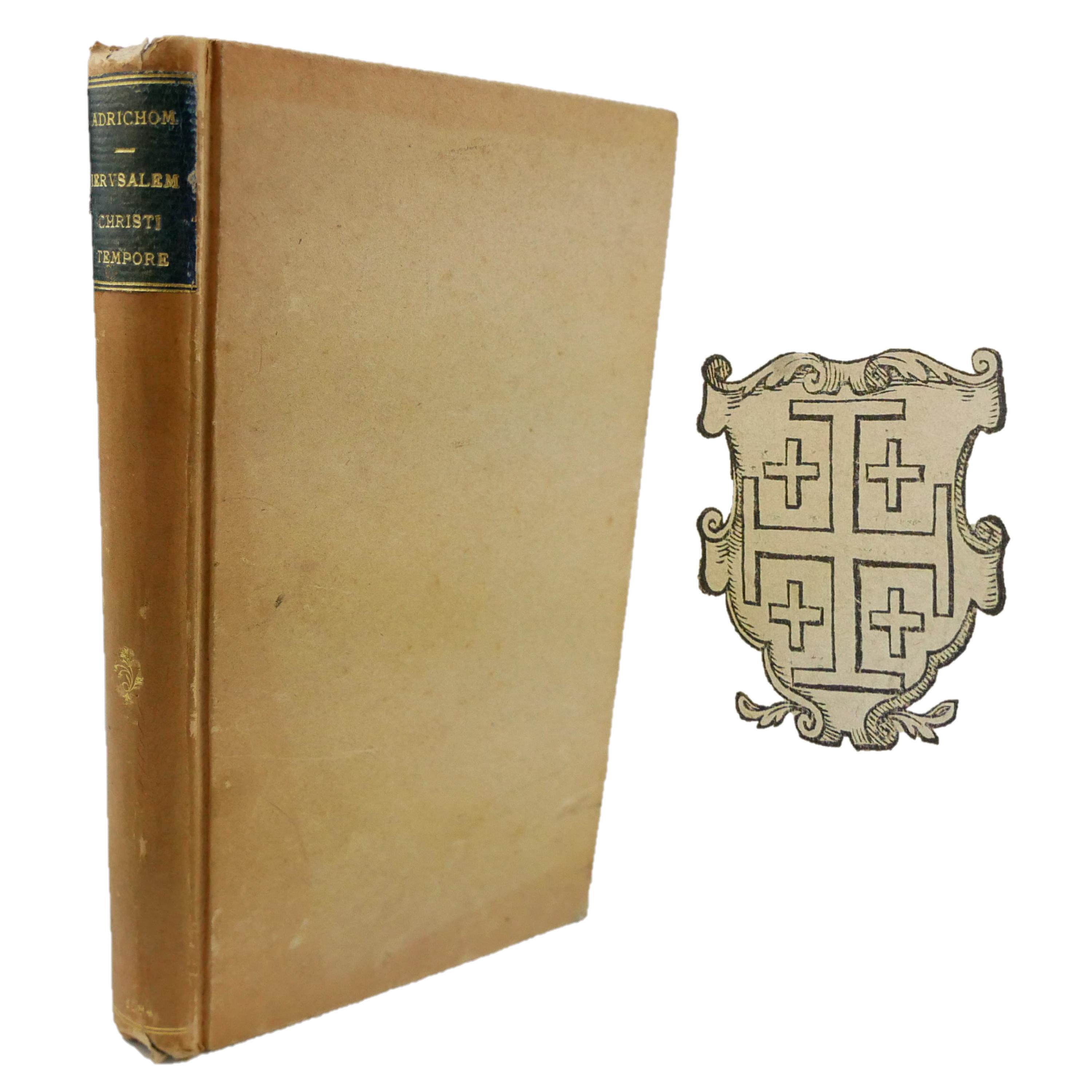
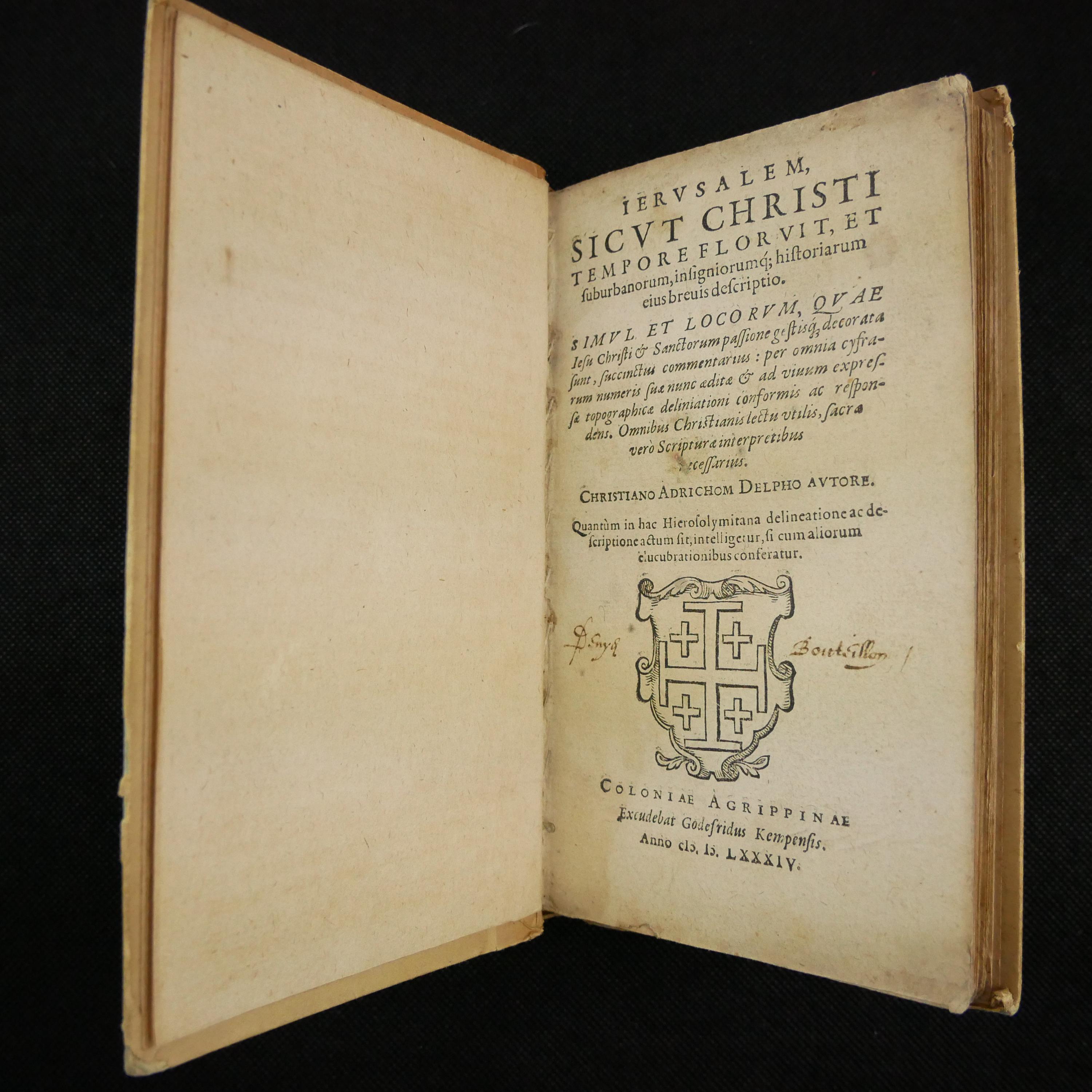
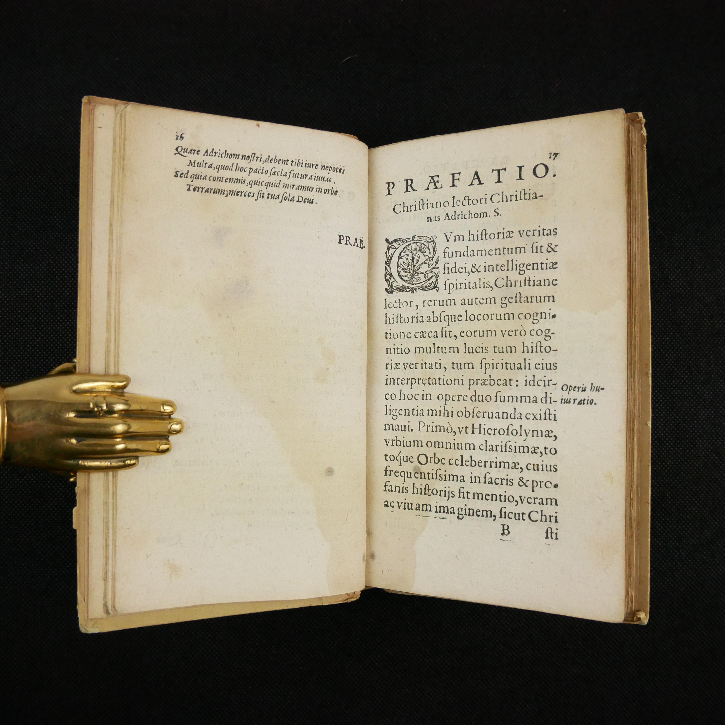
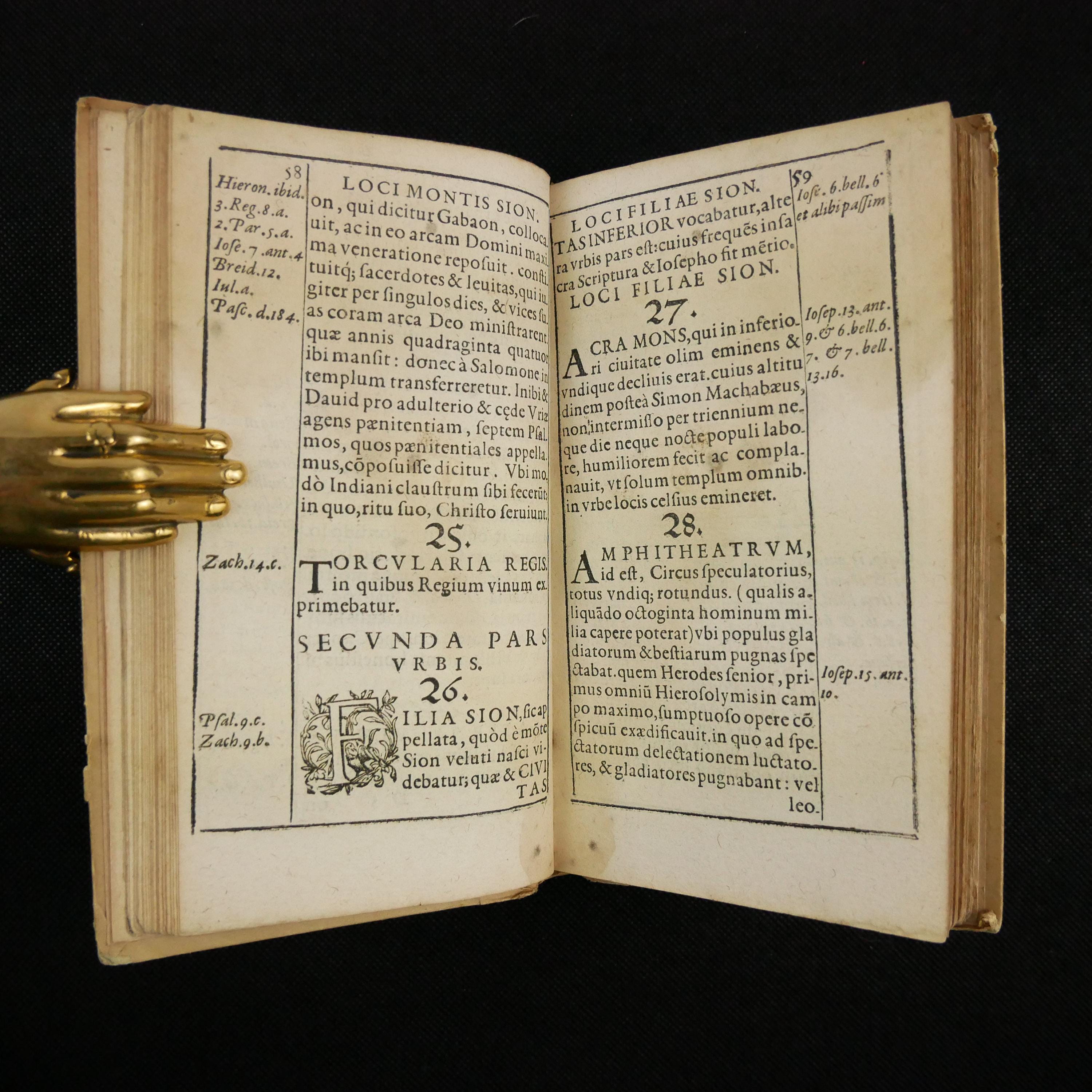
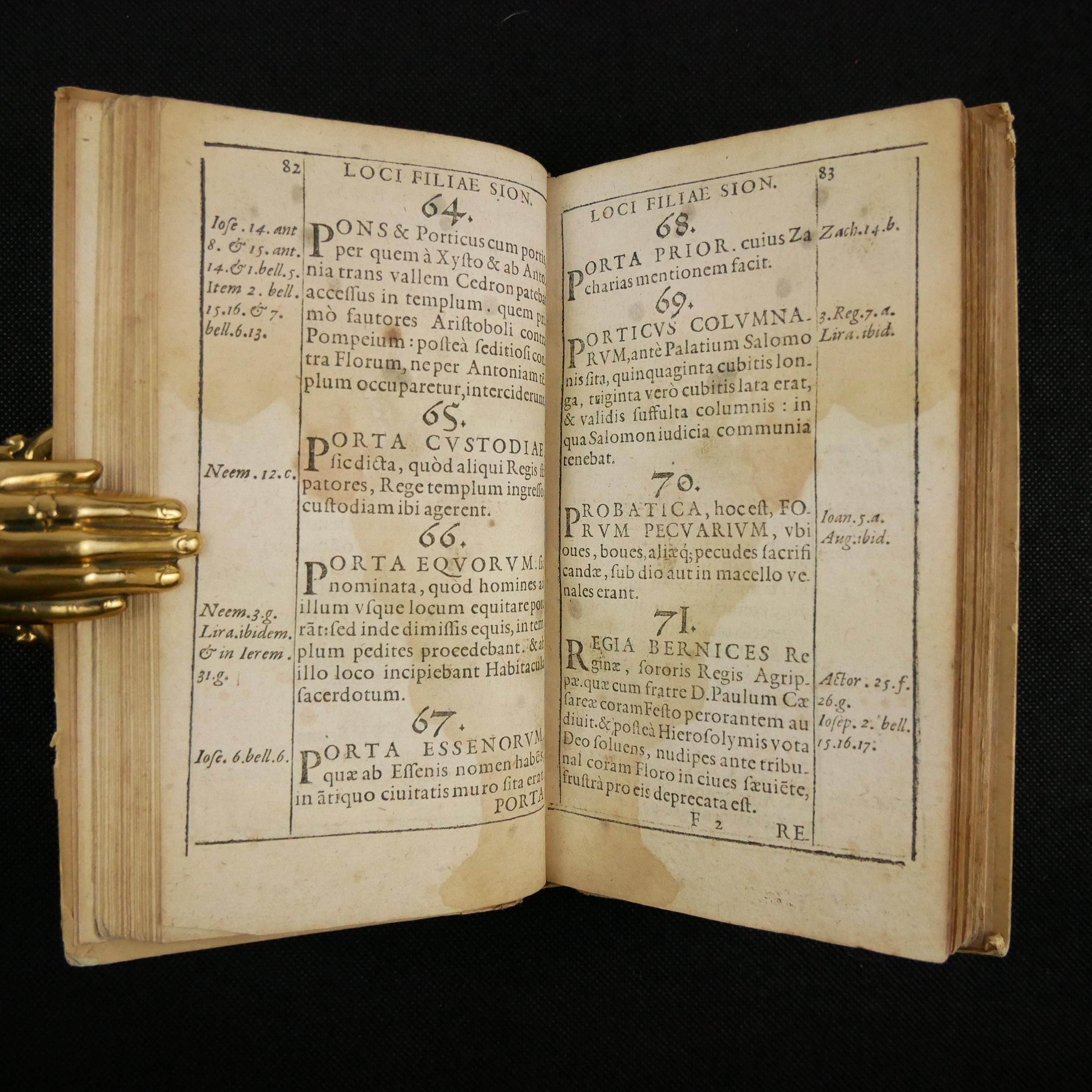
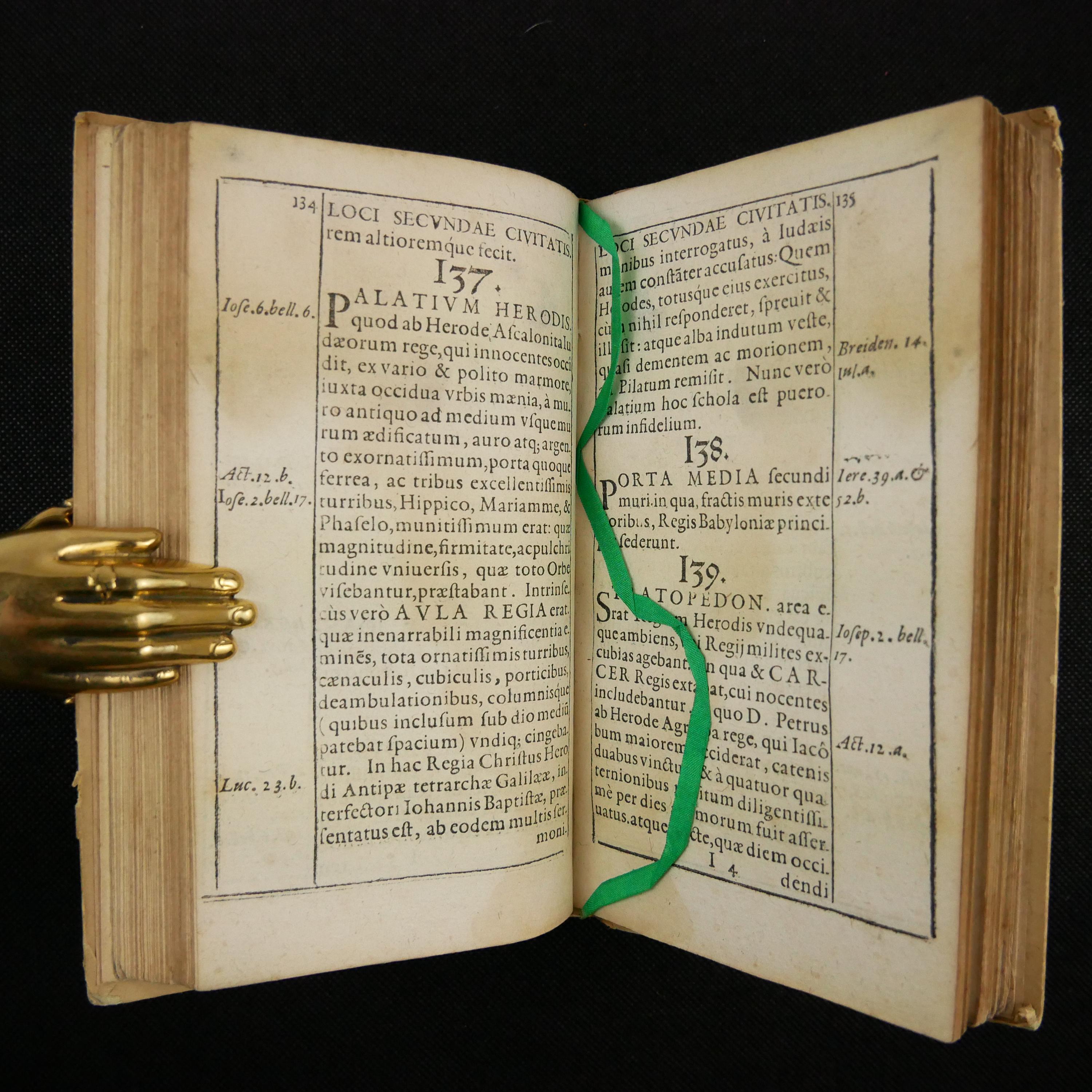
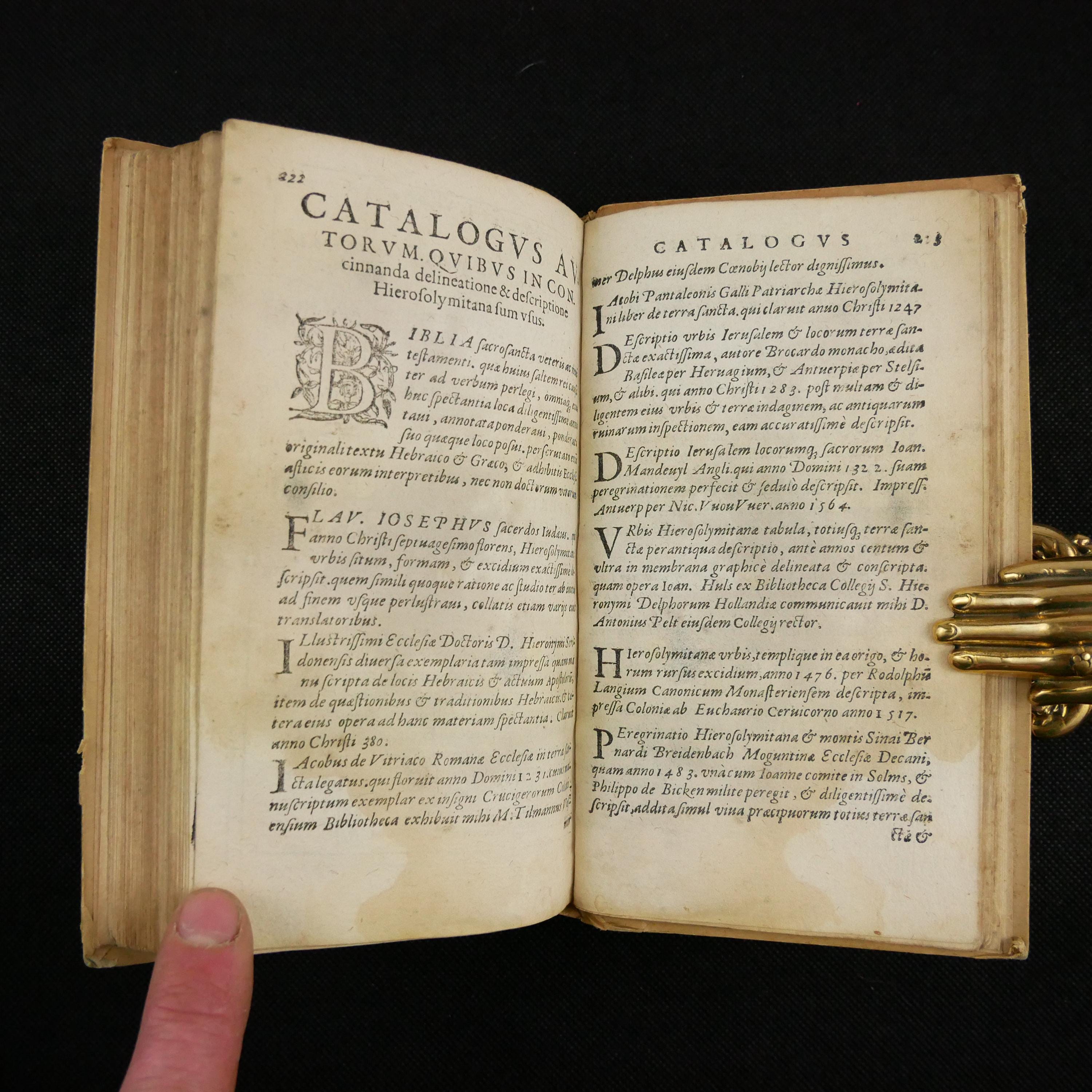
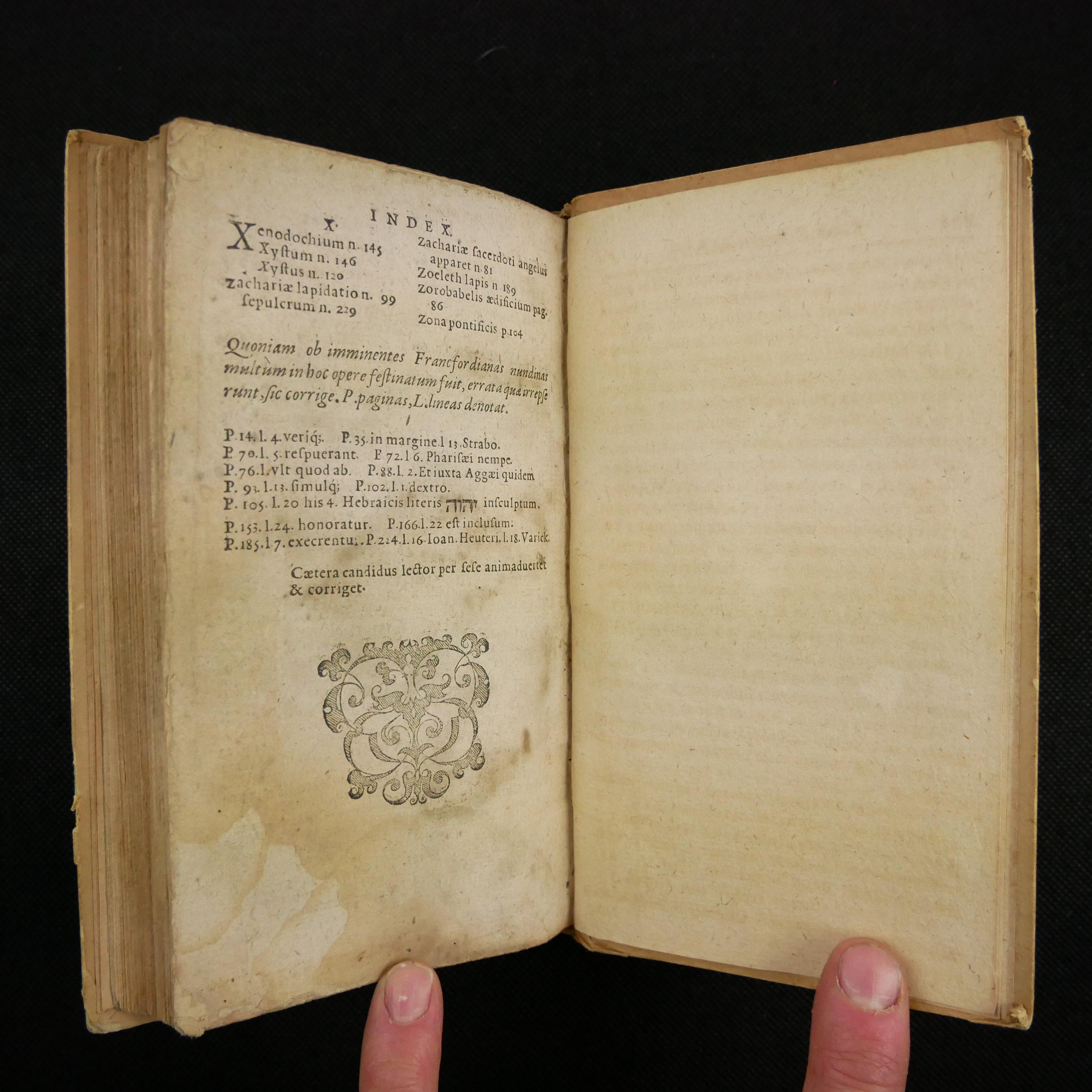
1584 Jerusalem Sicut Christi Tempore Floruit, by Adrichem. Important early description of the Stations of the Cross, establishing the order.
$599.99
First edition of this description of the different areas of Jerusalem; importantly, this work introduced the first twelve stations of the Way of the Cross, as we now know them and are generally adopted by the church.
The work was quite popular, and immediately reprinted. In 1590 the author added greatly to the work, and included a map, which was likely designed for this earlier portion since it was dated 1584.
Scarce, at the time of listing this, I can't find another copy for sale. Also, difficult to find auction records for the book as well.
About The Stations of the Cross -
From How Did the Stations of the Cross Begin by William Saunders, March 10, 1994 Arlington Catholic Herald -
William Wey, an English pilgrim, visited the Holy Land in 1462, and is credited with the term "stations." He described the manner in which a pilgrim followed the steps of Christ. Prior to this time, the path usually followed the reverse course of ours today—moving from Mount Calvary to Pilate's house. At this time, the reverse—going from Pilate's house to Calvary—seems to have taken hold.
When the Moslem Turks blocked the access to the Holy Land, reproductions of the stations were erected at popular spiritual centers, including the Dominican Friary at Cordova and Poor Clare Convent of Messina (early 1400s); Nuremberg (1468); Louvain (1505); Bamberg, Fribourg and Rhodes (1507); and Antwerp 1520). Many of these stations were reproduced by renowned artists and are considered masterpieces today. By 1587, Zuallardo reported that the Moslems forbade anyone "to make any halt, nor to pay veneration to [the stations] with uncovered head, nor to make any other demonstration," basically suppressing this devotion in the Holy Land. Nevertheless, the devotion continued to grow in popularity in Europe.
At this time, the number of the stations varied. William Wey's account has 14 stations, but only five correspond to our own. Some versions included the house of Dives (the rich man in the Lazarus story), the city gate through which Christ passed, and the houses of Herod and Simon the Pharisee. In 1584 a book written by Adrichomius entitled, Jerusalem "sicut Christi Tempore floruit," gives 12 stations which match those in our present version.
About the Author -
From the Dutch wikipedia, Christian Kruik von Adrichem -
The son of the mayor of Delft, he studied theology in Leuven and was ordained a priest on 2 March 1561. He was then superior of St. Barbara's Monastery, which later became an orphanage for girls in Protestant Delft. When the Reformation was introduced in Delft in 1566, he left his hometown. In 1578 he was in Mechelen and published the work Vita Jesu Christi. Later he came to Cologne, where he became confessor of the Augustinian convent "Nazareth". He wrote several writings on the topography of Palestine.
His work Jerusalem sicut Christi tempore floruit (...) brevis descriptio, Cologne 1584 is of great importance in the history of piety. In it, the author, who had never seen Jerusalem, describes a Way of the Cross with twelve stations, with the distances between the stations being communicated "so that every Christian can follow the Way of the Cross in any place, even within his four walls, in the corridor or in the garden". The book was widely distributed; Translations have been published in Italian, English, Dutch, Bohemian, Polish, Spanish and German. The stations listed in it were later all included in the official Roman Catholic Way of the Cross
About the map, which is not present (from the OCLC) -
According to Bibl. belgica (Adrichem-A 109) the map is not found in any of the editions and translations. It seems to have been issued separately, and in a few copies described as containing the plan it was probably inserted subsequently to the publication
The (1594) work with a suppl., was incorporated in Adrichem's Theatrvm Terrae Sanctae (first ed. 1590) where it forms the second part and is accompanied by the plan, which is however dated "Coloniae Agrippinae. Anno Christi. 1584"; the impression is said to be "déja bien faible" (Bibl. belg., 1 c)
Bibliographic Details -
First edition. No supplemental map.
For a list of editions and transl. - R. Röhricht, Bibl. geog. Palaestinae, 1890, p. 209-211 (no. 791).
Worldcat OCLC record 863512899.
The Universal Short Title Catalogue number 664993 - thirty-four copies; only one recorded in Amerca at the New York Public Library.
Physical Attributes -
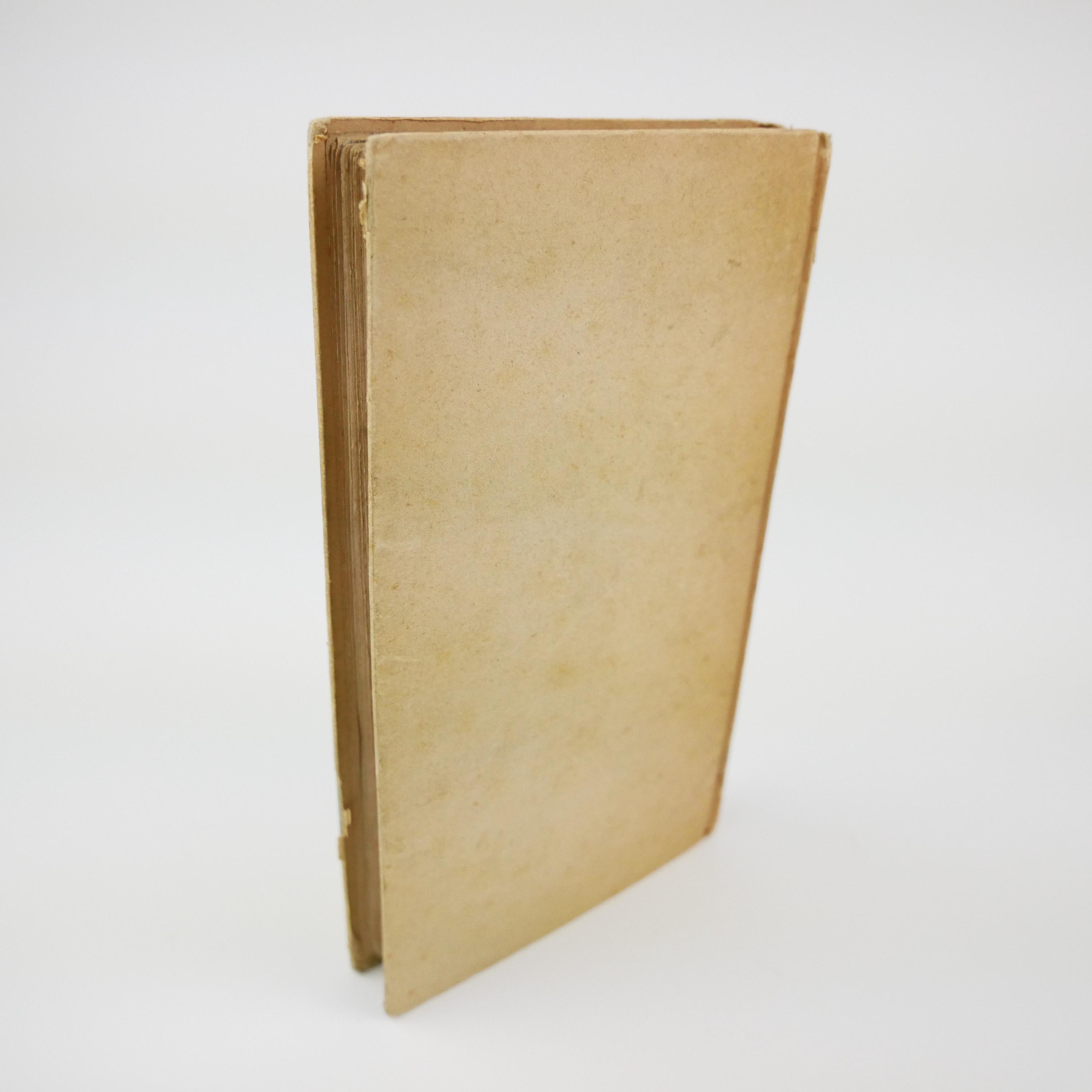
Measures approximately 17 x 10 x 1.5 cm; signed in 8. Paper hardcover, with a black title label on the spine, with the title in gilt. Also, a gilt decoration on the spine, and a year at the bottom edge.
Pages - 228, [20]
Collation - A-P8, Q4
Condition -
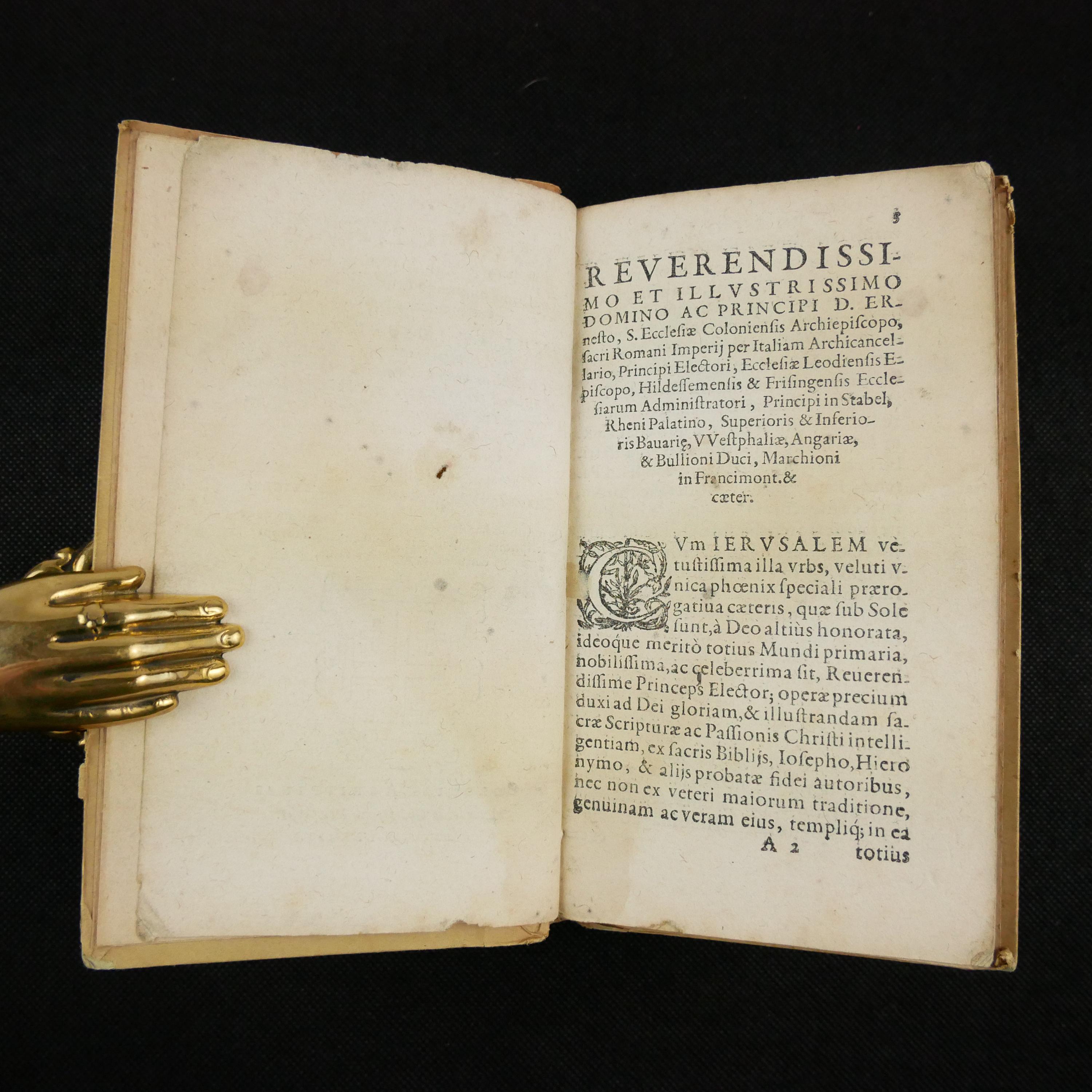
See pictures. Simple hardcover binding made of paper has wear around edges and corners, toning to spine. Top edge of the text block darkened by dust. Ink name on title page. Lightly toned throughout, with an occasional fox spot, page edge chip/tear, dog-eared page and thumb mark. Leaf D3 with a palm print. Moisture marked throughout. Old ink annotations and underlining. Graphite bookseller notes on rear pastedown.
Shipping from United States
Processing time
1-3 business days
Customs and import taxes
Buyers are responsible for any customs and import taxes that may apply. I'm not responsible for delays due to customs.
Payment Options
Returns & Exchanges
I gladly accept returns
Just contact me within: 7 days of delivery
Ship items back to me within: 14 days of delivery
I don't accept exchanges or cancellations
But please contact me if you have any problems with your order.
Conditions of return
Buyers are responsible for return shipping costs. If the item is not returned in its original condition, the buyer is responsible for any loss in value.
Privacy policy
We do not collect any private information. For billing, Etsy provides the service. We only receive notice that payment was made. The shipping address is provided to us by Etsy, based on what they buyer submitted during check-out. We do not store these addresses. That is the extent of the information that we receive during a transaction.
